
Copyright Reserved © 2014
GEO-

Welcome to the home of Geo-Object Decisions.
The Company started with the vision that many decisions to be taken actually involves several geo-
Another example is where to locate a new cemetery. In this instance, the Geo-


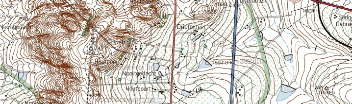
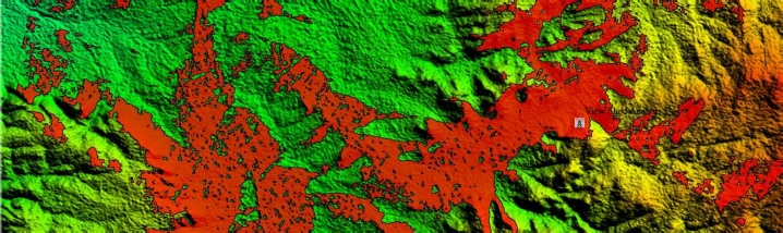
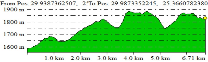
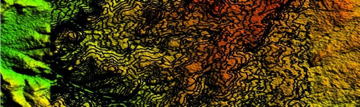
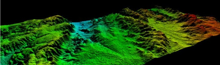
The Company is strongly focussed on Geo-Spatial analysis in different environments. Making a map to show relationships between objects in the real world will tell a story. More importantly the map or several series of maps will serve a purpose towards a specific decision.
Water and Environmental
Environmental Government Departments requires the implementation and conservation of objects within defined buffer zones. Example, when the wetland specialist defined the wetland boundary a buffer zone needs to be added and the identified impacts within that area needs certain mitigation measures. The Company aims to assist Environmental Specialists with the designing of SUITABILITY MAPS of the environmental impacts in relation to the surrounding spatial features.
Decisions need to be taken when water is to be approved for a transfer from one property to another. In the evaluation of this process, several questions serve as a spatial criteria that will impact on the decision. Example, will the water actually get to the receiving property based on the direction of flow? How many properties need to be involved in the public consultation if required? What distance do the water traverse before reaching the receiving property? The Company will assist the decisionmaker in this process with the design of the LOCATION BASE MAPS.
When dams are designed the catchment needs to be defined as input towards the models used by the Hydrologist or the Civil engineer. Calculations for the different extent of watersheds are required. The Company can provide VISUAL PRESENTATION MAPS with suitable annotated backgrounds and an indication of the possible CONTOURS.
When new urban developments are planned the possible areas of water use impact needs to be identified. The Company is able to import the CAD drawings and other civil data for this IDENTIFICATION ANALYSES.
Mining
Responsible Authorities need to know WHAT THE DISTANCE OF ACTIVITIES ARE (open pits, storage dams, evaporation ponds, wastewater dams) from streams. They also want to know whether the boreholes to be utilised,
are within 100 meters from a stream/water resource, or not?
Urban
The location of cemeteries or sites for a waste-dump are evaluated by Authorities through several criteria. The spatial objects in the criteria can be presented to assist with the decision. The aim is to bring all the spatial related information from the various specialists as several layers into the database for the SITE ANALYSES.
Slopes
The availability of DEMs provide with the use of the software various capabilities as indications of possible visible geographic areas. A SLOPE ANALYSES can be done to assist as desktop inputs towards answers related to agricultural potential. Following on this, 3D PRESENTATION of areas can be presented.


Geo-Object Services Capabilities
• Create Map Books
• Design and Building Geo-Databases
• Topology and error checking
• Generate contours
• 3D modelling
• Heads-on Digitizing
• Skills transfer
• Geoprocessing
• Spatial Analyses
• Spatial data information collection with cellphones or tablets (Android)
Loading...

VISION

FOCUS

DECISIONS SUPPORT FOCUS



Cornelius van der Walt
Independent GIS Practitioner
GIS Analyst
M.A.(Geography)., B.A(Hons) G.I.S.
Pr. GISc (SA)
c
e
|
|
Contact Details